
How Stratolloon Can Help You
We specialize in geospatial data exploration, providing your organization with the ability to incorporate the latest data visualization, analysis and integration technologies into your business and teams.
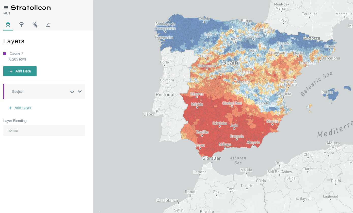
Discover Insights
Integrate multiple own and external sources (open data, satellites) to discover correlations of interest to your business.
Take better decisions
Use our cloud platform to manage decision-making processes based on the geospatial data your business uses.
What We Do
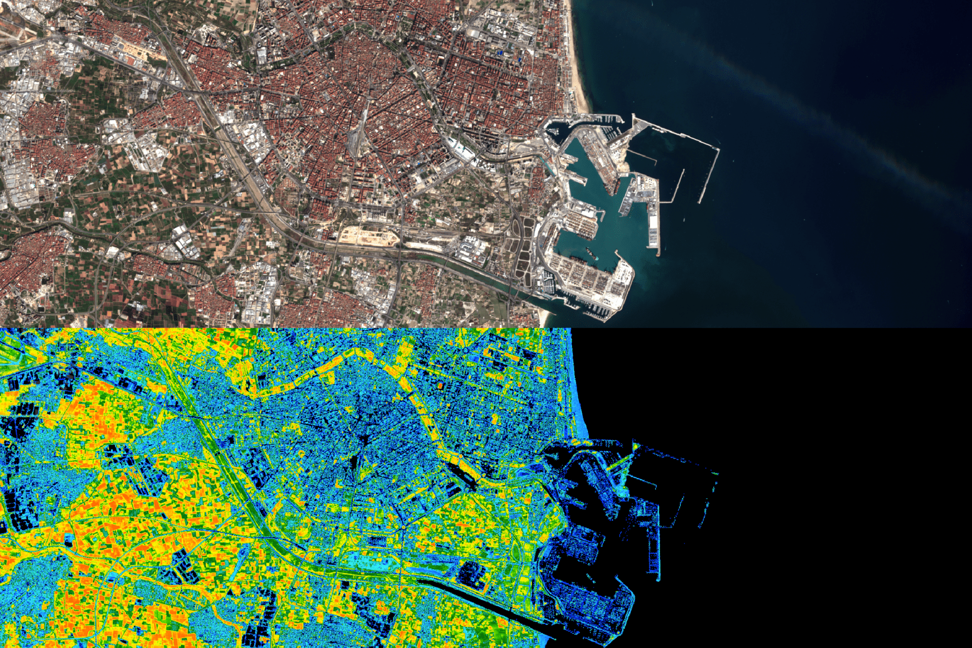
Geospatial Analytics
We incorporate multiple layers of visualization and interaction with the data captured and processed by our servers. Visualize your data in the cloud from any place and device.
Geovisualization
We incorporate multiple layers of visualization and interaction with the data captured and processed by our servers. Visualize your data in the cloud from any place and device.
Earth Exploration
We work with data from major Earth exploration satellites to make it available to you, automatically and at the click of a button.
Meet the Stratoteam

CTO
Alex Caballero
Msc. in Industrial Engineering from the Technical University of Valencia and responsible for the automation, analysis and processing of the data, as well as the digital presence of Stratolloon.
CEO
Jorge Sancho
Degree in Aerospace Engineering and Msc. in Startup Administration from the Technical University of Valencia. Responsible for image analysis, financial management and business vision.

Advisor
Miguel Ferrando
PhD in Telecommunications Engineering from the UPV and advisor on issues related to satellites and their telecommunications.